Hurricane-tracking CYGNSS satellite system gets NASA renewal as it expands its reach
Ocean wind tracker is finding new uses for inland studies.
Ocean wind tracker is finding new uses for inland studies.
NASA officials are re-upping investment in the Cyclone Global Navigation Satellite System (CYGNSS), a University of Michigan-led research project designed to improve hurricane forecasting that is demonstrating a knack for helping solve problems on land.
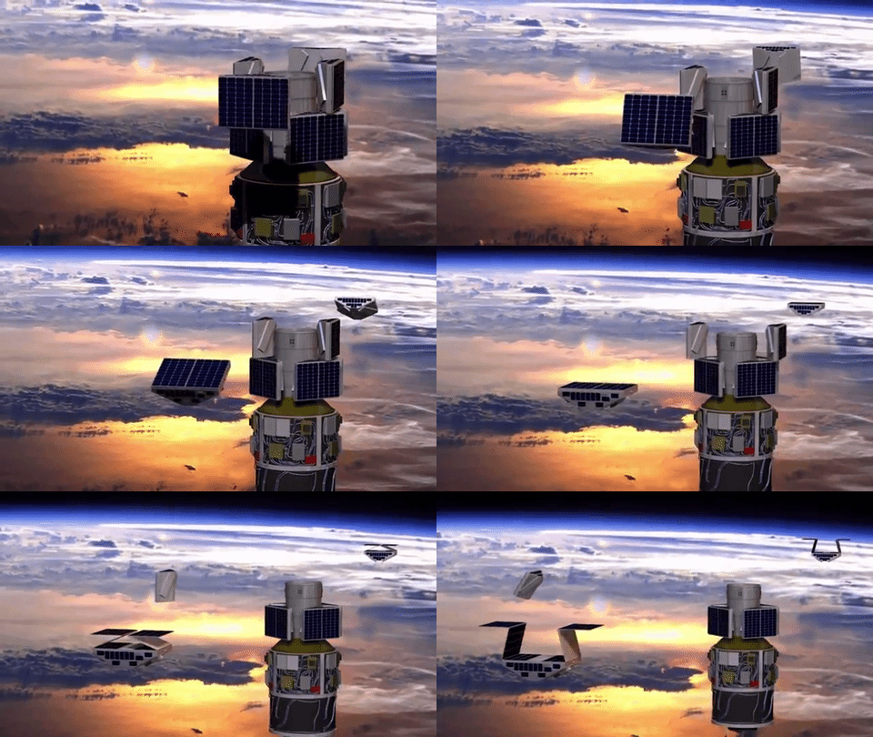
Launched in late 2016, the eight micro-satellite system analyzes the interaction of water and air near the heart of storm systems to bolster predictions on the severity of storms.
Following Senior the Earth Science Division 2020 Senior Review, NASA announced today it is extending the CYGNSS mission through September 30, 2023. It’s a commitment of over $21 million going directly to U-M for mission operations, plus additional funds going directly to the project’s competed science team.
“Our ability to forecast the strengthening of hurricanes has been improved by CYGNSS measurements of their inner core winds, which allow us to track the transfer of energy from the warm ocean water into the atmosphere in the form of latent heat flux,” said Christopher Ruf, the Frederick Bartman Collegiate Professor of Climate Space and Science at U-M’s Department of Climate and Space Sciences and Engineering, and CYGNSS principal investigator. “We are very excited about what the next three years will bring.”
CYGNSS’ micro-satellites, designed and operated by the Southwest Research Institute, take in direct and reflected signals from GPS satellites orbiting Earth. Their configuration allows a succession of satellites to pass over the same region of the tropics every 12 minutes, producing more accurate measurements of wind speeds over the oceans.

Currently, CYGNSS data is not being used directly in operational forecasting by the National Oceanic Atmospheric Administration (NOAA). As a relatively new addition to the forecasting arsenal, the satellite data has been used in re-analysis forecasting—revisiting old hurricane forecasts with new CYGNSS data to see how predictions could have been improved.
“Ocean surface wind measurements are fundamental for operational forecasting of marine weather, including tropical cyclones,” said Mark DeMaria, chief of the Technology and Science Branch at NOAA’s National Hurricane Center. “The CYGNSS wind retrievals show promise to improve National Hurricane Center and Ocean Prediction Center forecasts of hazardous tropical and marine weather if the science demonstrations carry over to an operational environment.”
Since reaching orbit, CYGNSS has beamed back a treasure trove of data utilized in hundreds of research papers and projects by scientists around the globe, including:
As demonstrated above, CYGNSS data has found its way into research projects that go beyond what happens on the oceans to issues centered inland.
“Over land, we can do a number of things—the main one being measuring flood inundation after a hurricane makes landfall,” Ruf said. “We’re able to get high-resolution maps of where the water is. You can do the same for other places like floodplains or where rivers overflow their banks.
“Newer investigations using measurements over land of surface hydrology and inland water extent are beginning to show great promise and this mission extension will allow us to realize that promise.”